lutterzand

Het Lutterzand

Het Lutterzand

De Lutte

The sandy cliffs

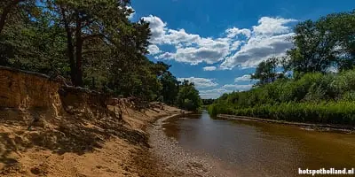
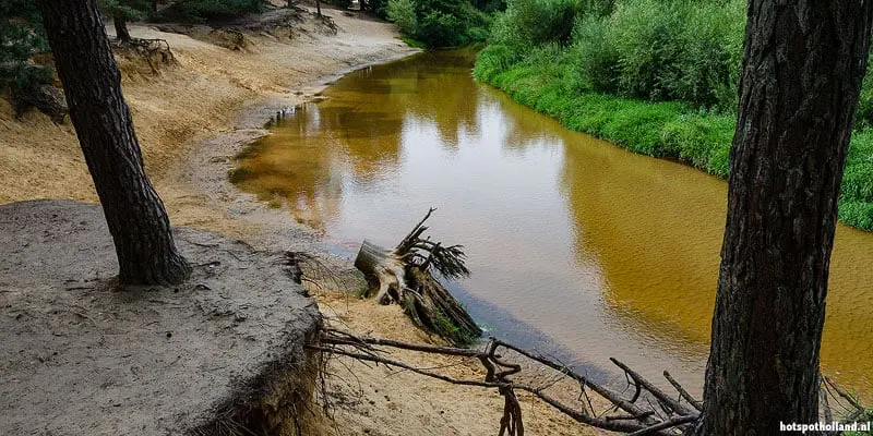
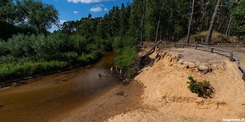
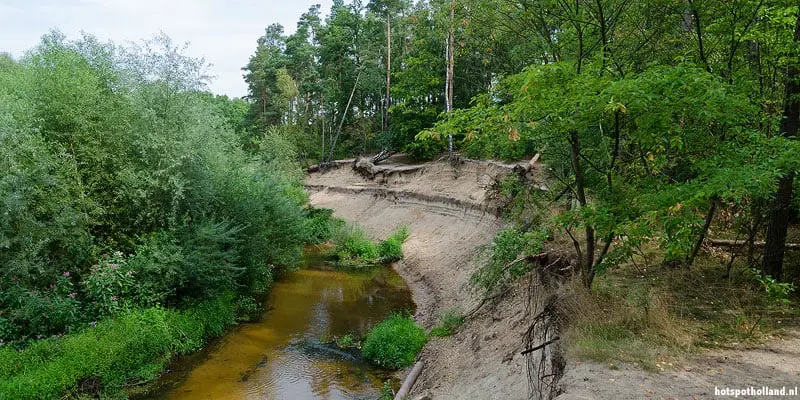
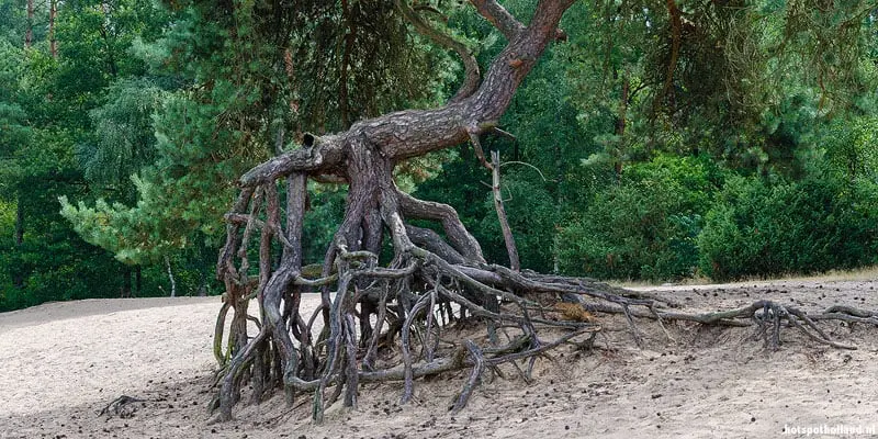
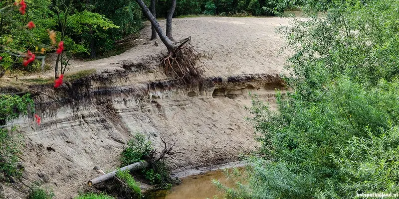
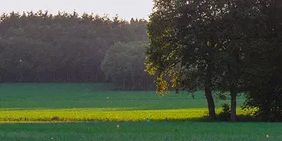
De Lutte - The water of the Dinkel river has "eaten" its way trough the landscape of the Lutterzand, a sandy area near the German border. Along the winding river natural sand cliffs have been cut out by the erosion. These impressive cliffs are up to eight meters high.

Lutterzand and the ice age

The sand of the Lutterzand area originates from the last two ice ages.
Because the water of the Dinkel river in the outer corner flows faster than in the inner curve, by erosion steep sand cliffs are created. The erosion process is still continuing. Along the cliff you see different trees that have fallen over the edge.


lutterzand Fotogallerie


Was sagen die Besucher über lutterzand?

De Lutte Ausflüge in die Umgebung

    Adress- und Besucherinformationen

    lutterzand

    Adresse: Lutterzandweg 12
    PLZ / Ort: 7587 LH  De Lutte
    Region: Twente
    Provinz/Region: Overijssel

    Visit: Ein durchschnittlicher Besuch dauert ca. 4 Std.
    Bitte informieren Sie sich vorher bei Ihrem Reiseziel ueber Preise und Oeffnungszeiten.

    Wichtig: Die Orte auf der Karte sind Richtwerte. Es ist nicht immer die Einfahrt, der Parkplatz oder die beste Route. Die Karte zeigt bis zu 8 Standorte in der Umgebung. Möchten Sie alle Standorte sehen? Überprüfen Sie unsere Hotspot-Karte oder verwenden Sie die Suche auf dieser Website.


    06:26

    20:35

    Waxing gibbous

    Übernachten De Lutte?

    Copyright © Hotspot Holland 2003 - 2024
    Wir sind HotspotHolland. 1001 grossartige Empfehlungen Ihre Ferien in den Niederlanden zu geniessen! Cookies

    NL EN DE

    Dutch cookies

    Mit der Nutzung unserer Dienste erklärst Du dich damit einverstanden, dass wir Cookies verwenden